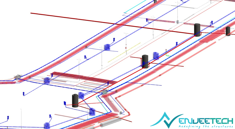
At EnveeTech, our Civil Utilities vertical supports the planning, design, and coordination of underground and surface infrastructure that form the backbone of modern Urban environments. We provide end-to-end utility design and engineering support, covering shop drawing generation, construction documentation, clash detection, and constructability analysis to ensure coordinated and build-ready outcomes. Our teams specialize in utility alignment optimization, depth control, and advanced 3D utility network modeling, enabling efficient routing of services within dense urban corridors. With a strong emphasis on design validation, quality assurance, and multidisciplinary coordination, we help mitigate conflicts early and deliver reliable utility systems that integrate seamlessly with broader infrastructure and city development plans.
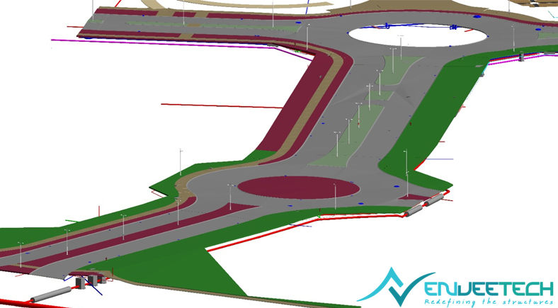
Our Civil Utilities expertise spans critical systems such as stormwater drainage networks, sanitary sewer systems, potable water and fire protection networks, along with electrical and telecom dry utilities, street lighting, low-voltage systems, retaining walls, and associated civil structures. In parallel, we support urban planning and city development initiatives through coordinated utility layouts, corridor planning, and accurate as-built and record model development that aid long-term asset management and future expansion.
By seamlessly integrating BIM, GIS, and project workflows, EnveeTech enables planners, engineers, and developers to deliver scalable, resilient, and well-coordinated civil utility infrastructure for smart cities and large-scale developments.
BIM Service Provider in USA, Canada | MEP Coordination Services in USA, Canada

Stormwater Drainage Network
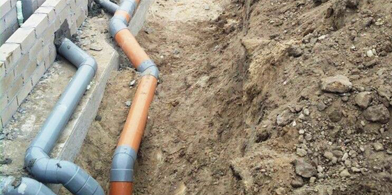
Sanitary Sewer System

Potable Water & Fire Protection Network

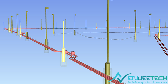
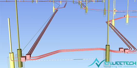
Electrical, Telecom Dry Utilities

Street Lighting & Low voltage Systems

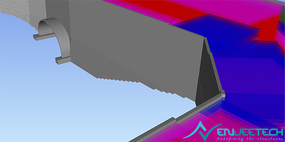
Retaining Walls & Associated Civil Structures
- Heavy Civil
- Infrastructure
- Commercial
- Government
Our Specialisations
- 01 Shop Drawing Generation & Construction Documentation
- 02 Clash Detection and Constructability Analysis
- 03 Utility Alignment Optimization & Depth Control
- 04 Advanced 3D Utility Network Modeling & Multidisciplinary Coordination
- 05 Design Validation & Quality Assurance
- 06 Accurate As-Built & Record Model Development
- 07 Seamless Integration with BIM, GIS & Project Workflows

software proficiency
softwares

Civil 3D

Navisworks Manage

Revit MEP

AutoCAD MEP

Autodesk FABmep

SolidWorks

Inventor

ReCap Pro

BIM Collaborate Pro

Autodesk Construction Cloud

Dynamo

Trimble Building Data

Revizto
Project Gallery
- All
- MODELS
- DRAWINGS